


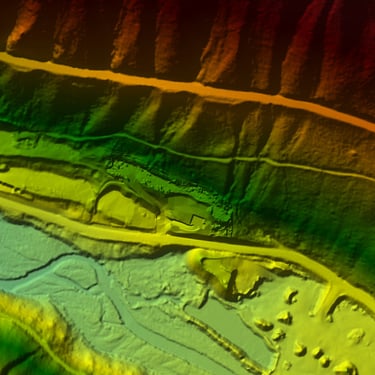
Survey data that predicts flood behavior.
Bathymetric profiles, gravel volume calculations, and debris-flow analysis— each one processed into a HEC-RAS flood model your agency can act on. No estimates handed off as deliverables.
Raw data is only the start.
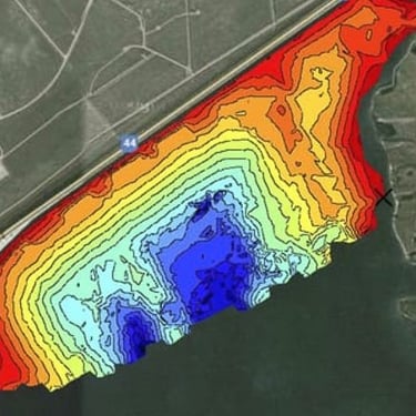
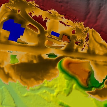
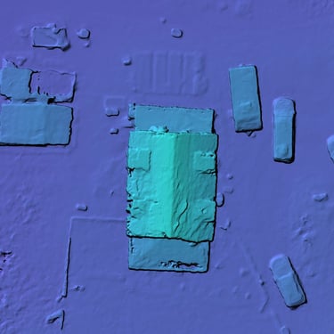
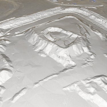
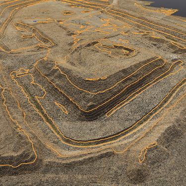
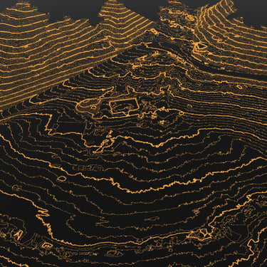
Bathymetry & Volume
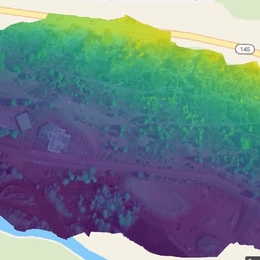
Debris-Flow Analysis
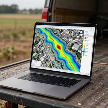
HEC-RAS Flood Modeling
Acoustic and GPS-based depth profiling of reservoirs, channels, and detention basins — volume calculations delivered as georeferenced surfaces, not spreadsheet estimates.
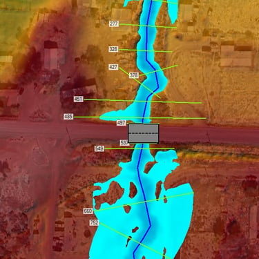
Field-measured sediment and debris volumes mapped to channel geometry, then fed directly into flood routing — so the load your waterway carries becomes a variable in the model.
Survey cross-sections, Manning's roughness, and measured flow data assembled into calibrated HEC-RAS simulations — flood prediction outputs ready for regulatory submittal.
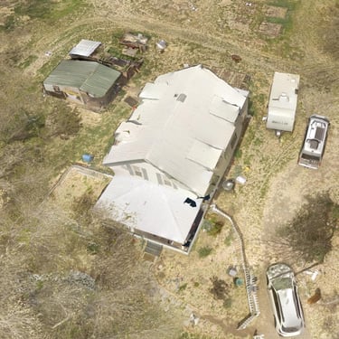
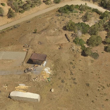
Real waterways. Measured data. Verified predictions.
Each project below began with boots in the water and ended with a flood model an agency could submit. Browse by service type to find work that matches your scope.
Bring your waterway. We'll bring the model.
Describe your project — channel type, deliverable requirements, timeline — and we'll scope a field-verified, model-confirmed engagement that answers your agency's specific questions.